
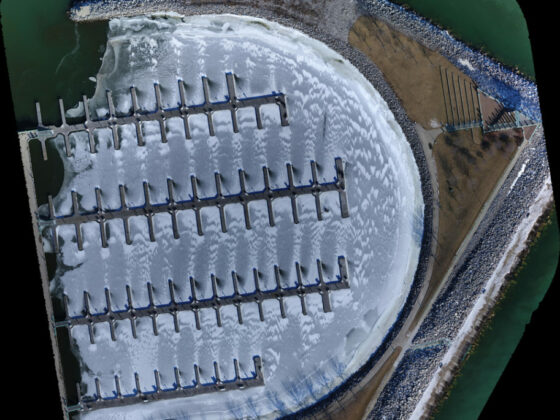
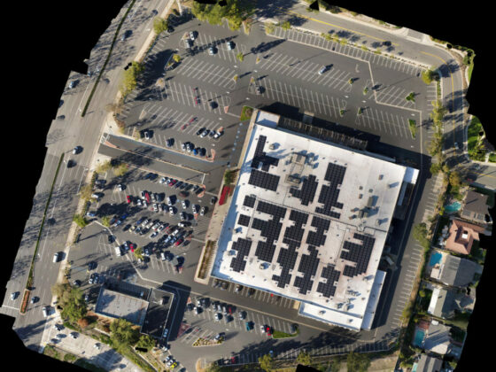
Precision Mapping
Aeroworks delivers aerial mapping and land surveys providing topographic data as well as high-resolution aerial photography. We provide complete visual information and topographic data required to improve decision-making while reducing costs, saving time and improving safety. Large areas can be surveyed up to 50 times faster than traditional methods and accurate down to 1 cm resolution.
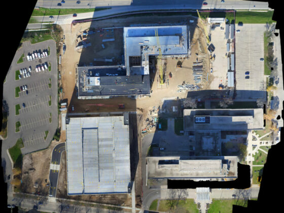
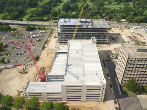
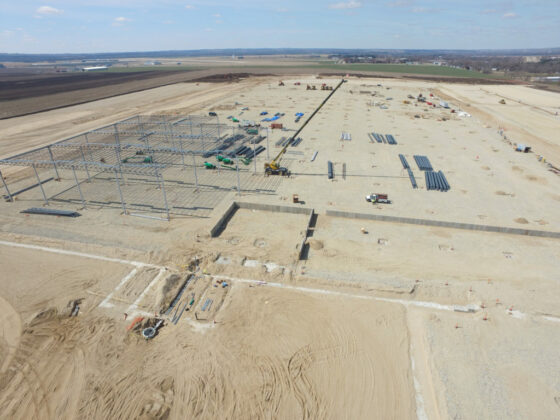
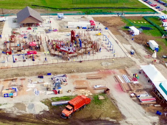
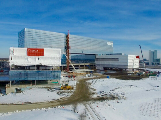
Construction Progress Photography
Watch your project transform before your eyes. Using Aeroworks to undertake progress shots across a construction site allows you to keep tabs on progress, hold accountability, audit supplies/equipment, and keep stakeholders up to date with progress. We cover all work in the vicinity of the building exterior at regular intervals to provide a permanent, inspection grade photographic record of construction progress. Progressions can be performed weekly, bi-weekly, or monthly generally coordinated with pace of progress.
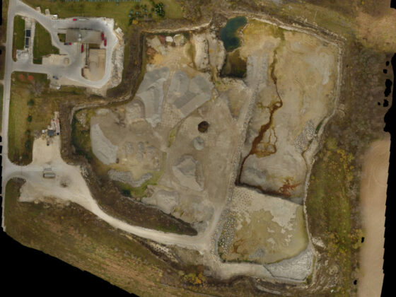
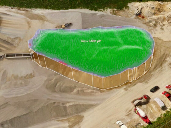
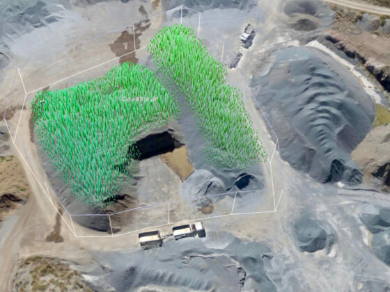
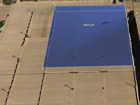
Volumetric Measurements, Estimating and Grading
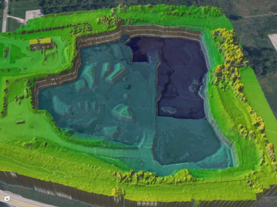
Whether you need to calculate the volumes of stockpiles, the extraction volume of a quarry or the volume of a building, you will find tremendous time savings compared to traditional methods. Area estimation and grading are also available.
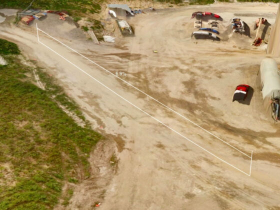
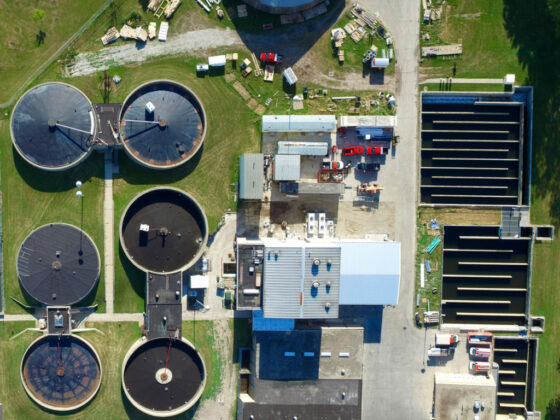
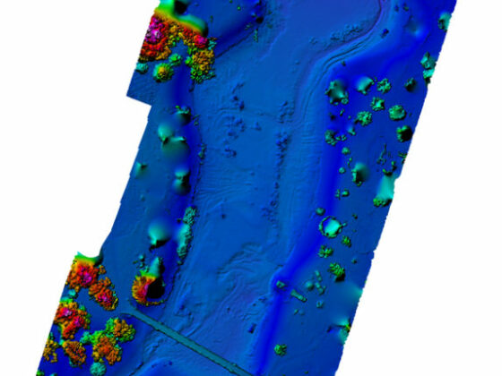
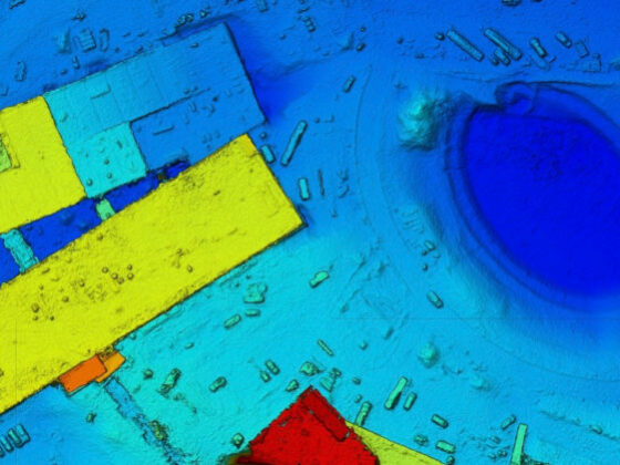
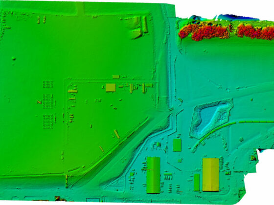
DSM (Digital Surface Model) & DEM (Digital Elevation Model)
DSMs and DEMs allow you to visualize the terrain and other man-made surfaces in and around your project. This can be extremely helpful when making decisions on things like water drainage, traffic flow, landscaping and fencing.